
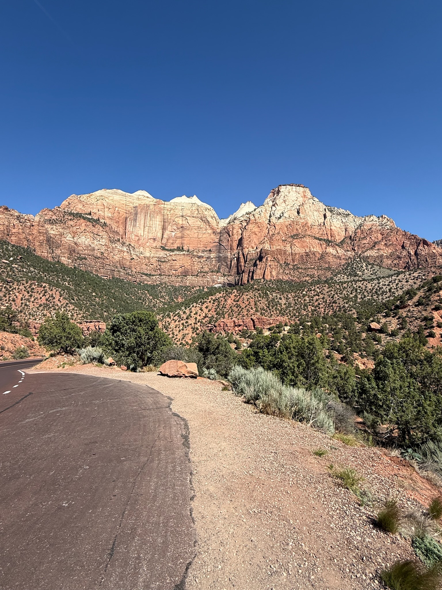

When you are working with an aggressive itinerary, decisions, sometime difficult, have to be made about how much time you can spend at one place. Arriving at Zion National Park in mid-May, my husband and I got a sense of how busy the park was based on the fact that we could not find one single empty spot in the Visitor Center’s enormous parking lot. While planning the trip we had learned that there is a mandatory shuttle (a bus) for the Zion Canyon Scenic Drive. Mister Rain saw several of those buses drive by and he reported that they were packed. It didn’t take long for us to determine we would pass on the shuttle, our research had shown us there would still be much to see driving ourselves from the Visitor Center east towards our next destination, Bryce Canyon.
Compared to Zion Canyon, the east side is quieter, more open, rugged and remote. There are few developed trails but you don’t have to hike to enjoy this side of Zion. It is one of those places where the drive itself is the attraction.
Taking Route 9 (Zion-Mount Carmel Highway), it was immediately spectacular. Opening in 1930, this roadway was intentionally constructed as a scenic route between Zion, Bryce Canyon and the Grand Canyon. Winding between domes and cliffs, there are pullouts where you can simply stop and look.
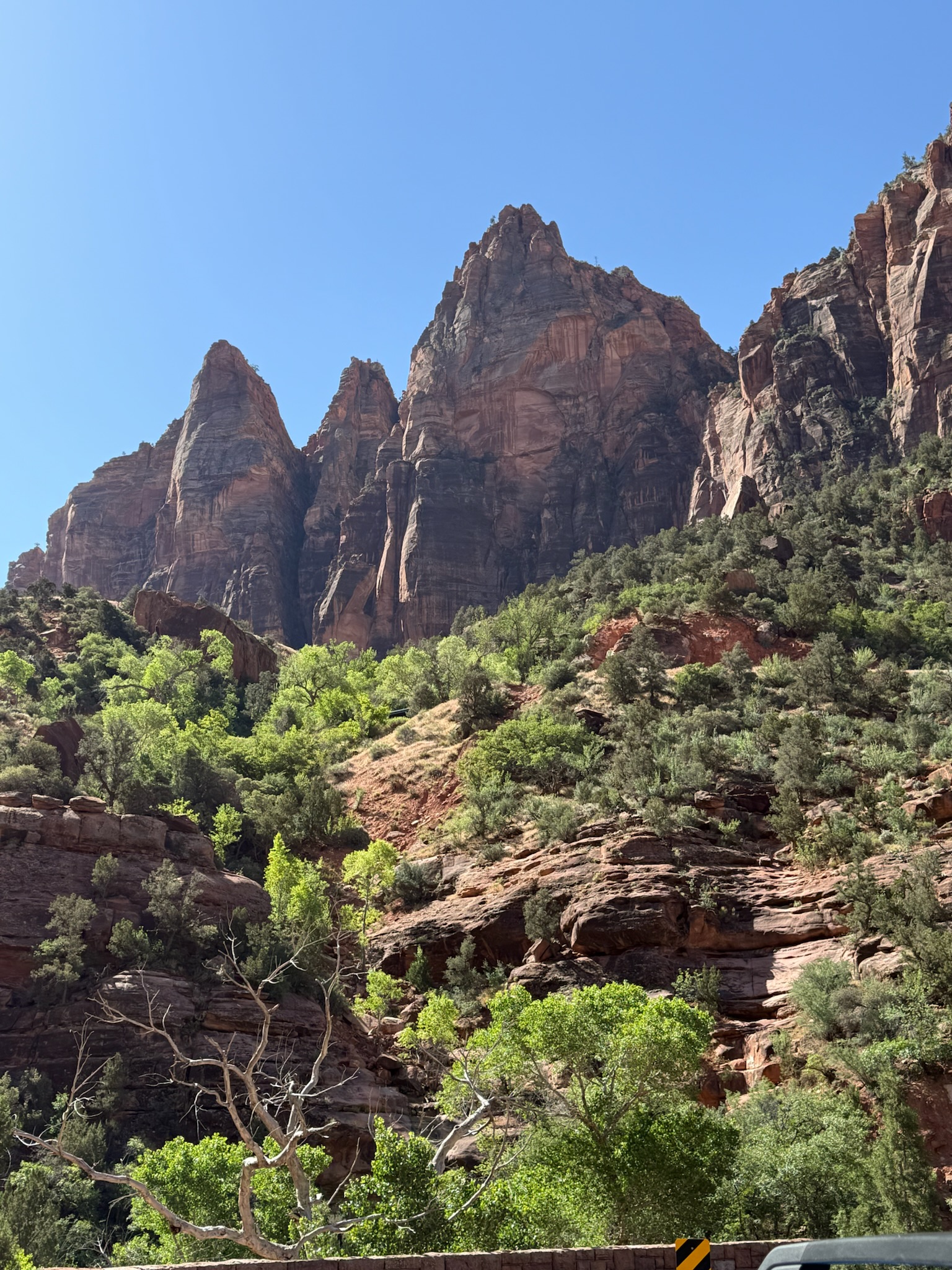
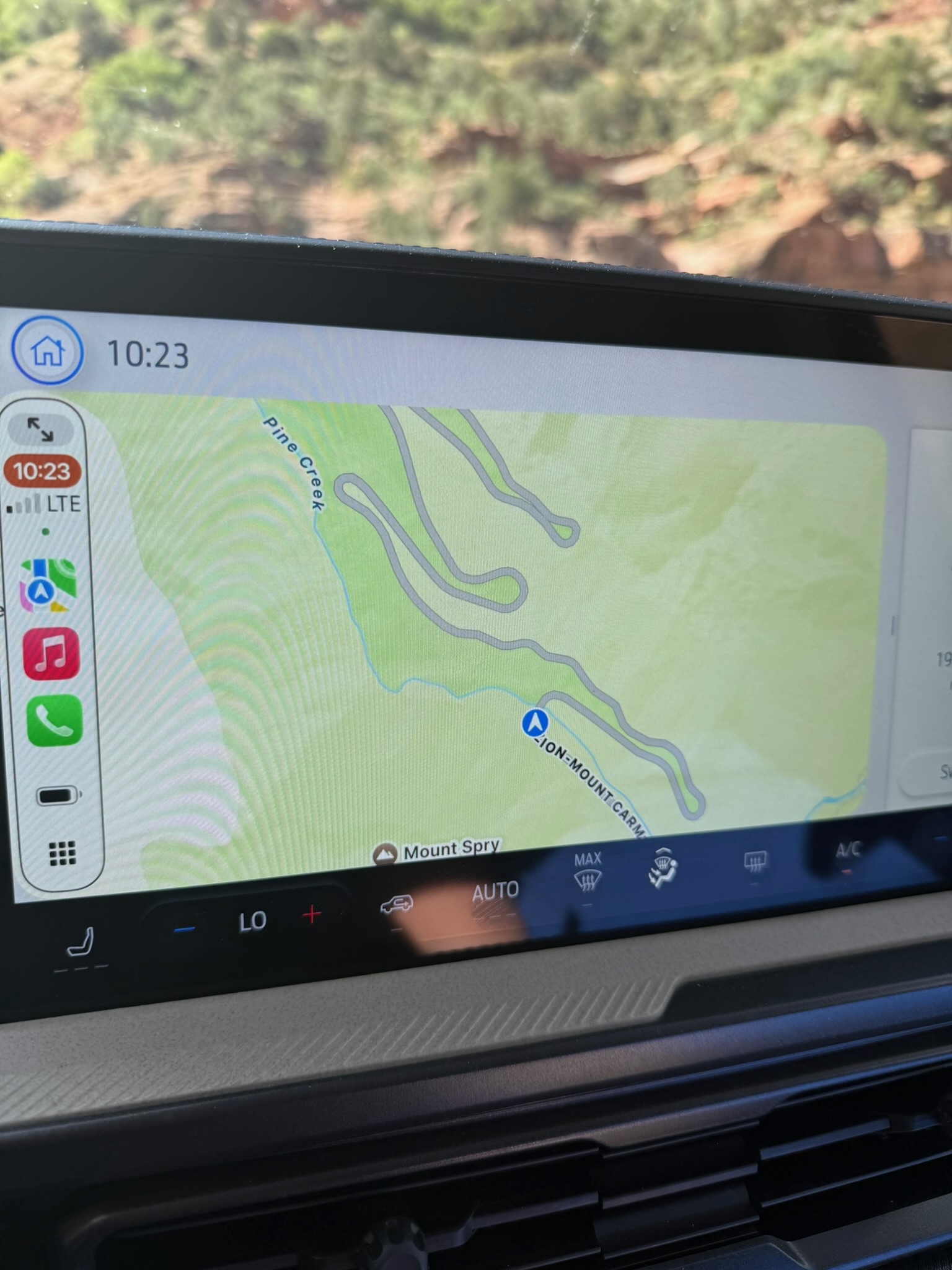
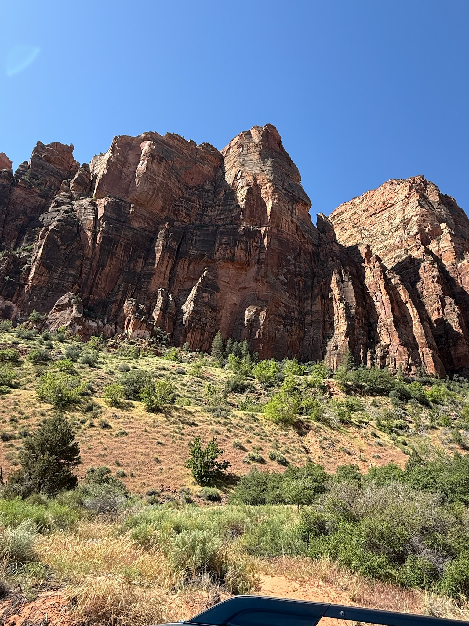
The scenery changed incredibly quickly. We first found ourselves at the base of Zion’s enormous formations, then we began climbing dramatically through a canyon with switchbacks carved into the mountainside. To say Mister Rain and I were awestruck doesn’t do our reaction justice. Every turn, every reverse direction of the switchbacks provided a different grand, expansive view. As we continued to gain altitude, the stunning blue western sky remained an endless backdrop for the spectacle that surrounded us.
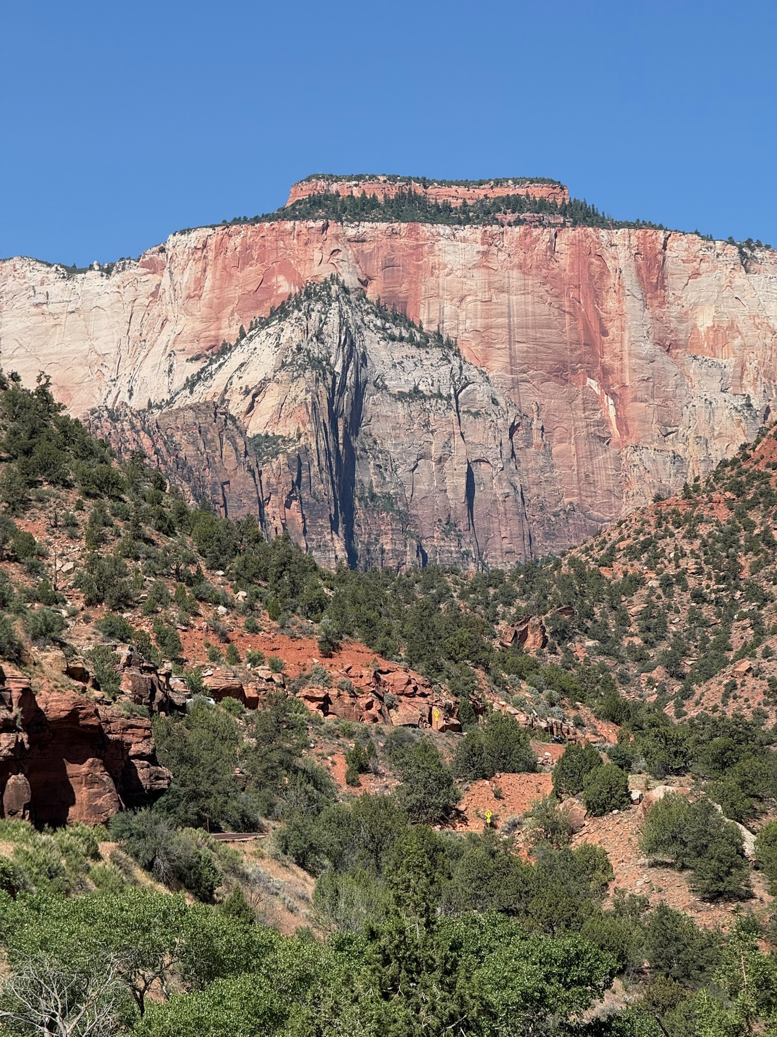
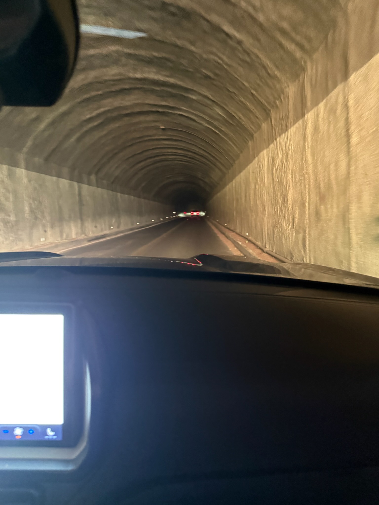
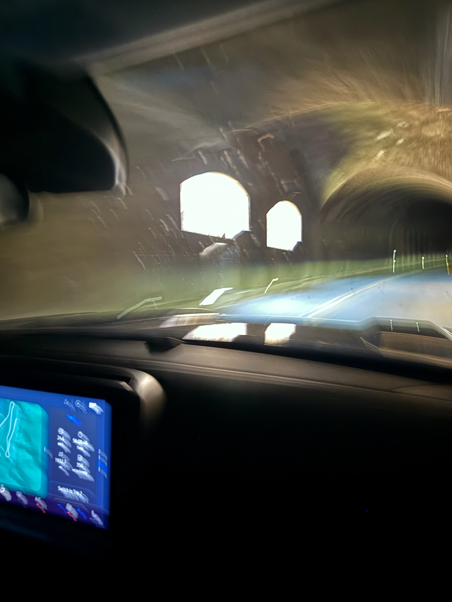
Next came the 1.1-mile Zion–Mount Carmel Tunnel cut directly through the sandstone mountain. At the time of the build in 1930, it was the longest of its kind. During construction, large windows were created by blasting through the rock, providing quick flashes of natural light as you drive through the tunnel. Due to its low clearance, high vehicles require a permit and assigned time so that traffic can be stopped to allow these vehicles to travel down the middle, where the tunnel’s height is higher.
When you emerge from the tunnel’s east end, the landscape is noticeably different. Instead of the massive walls of the main canyon, the scenery is now ponderosa and pinyon pine, rounded white-and-pink sandstone domes, narrow washes and small canyons.
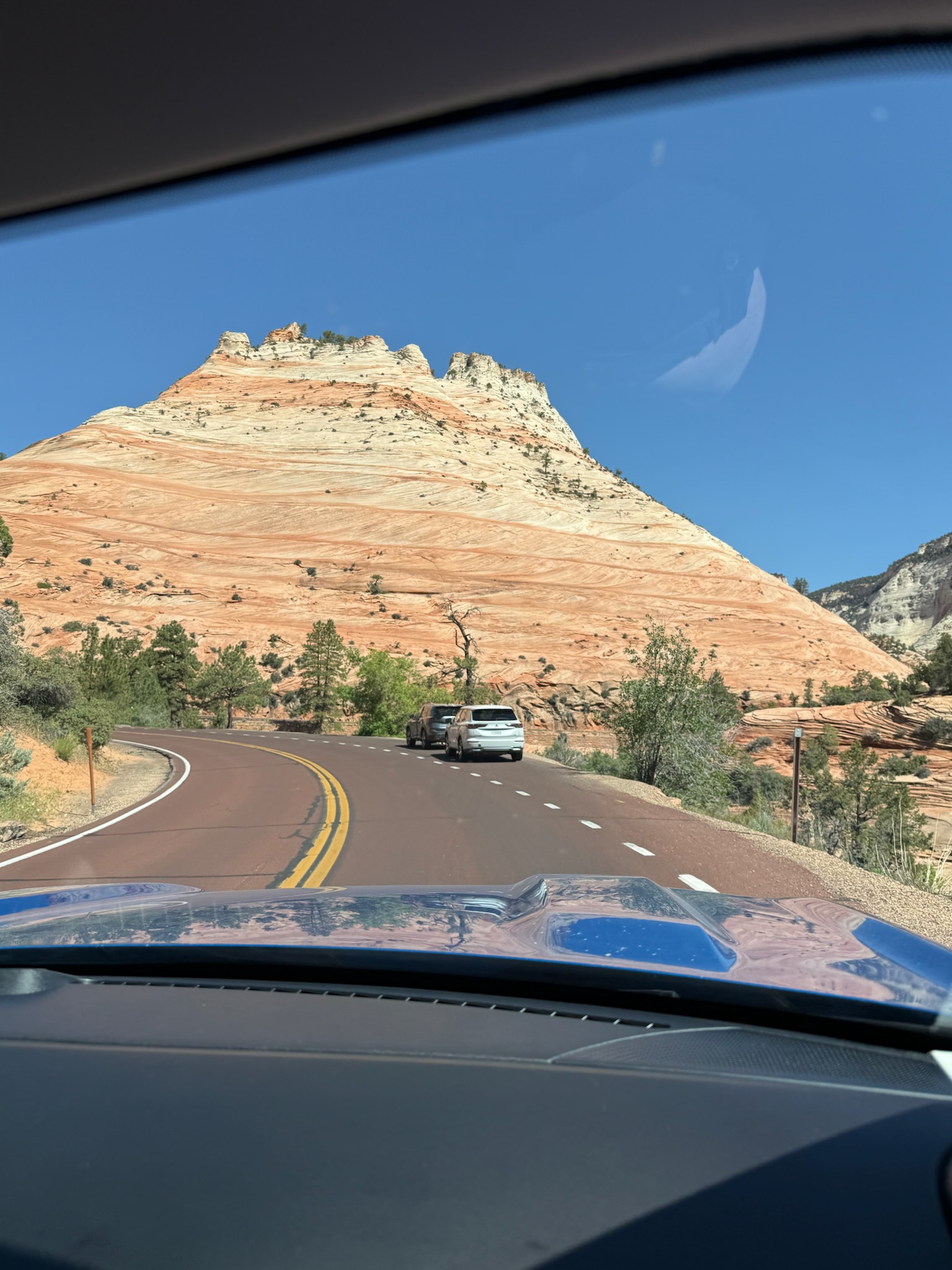
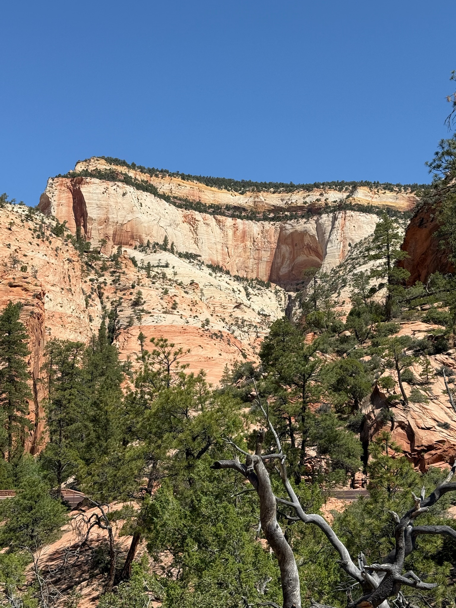
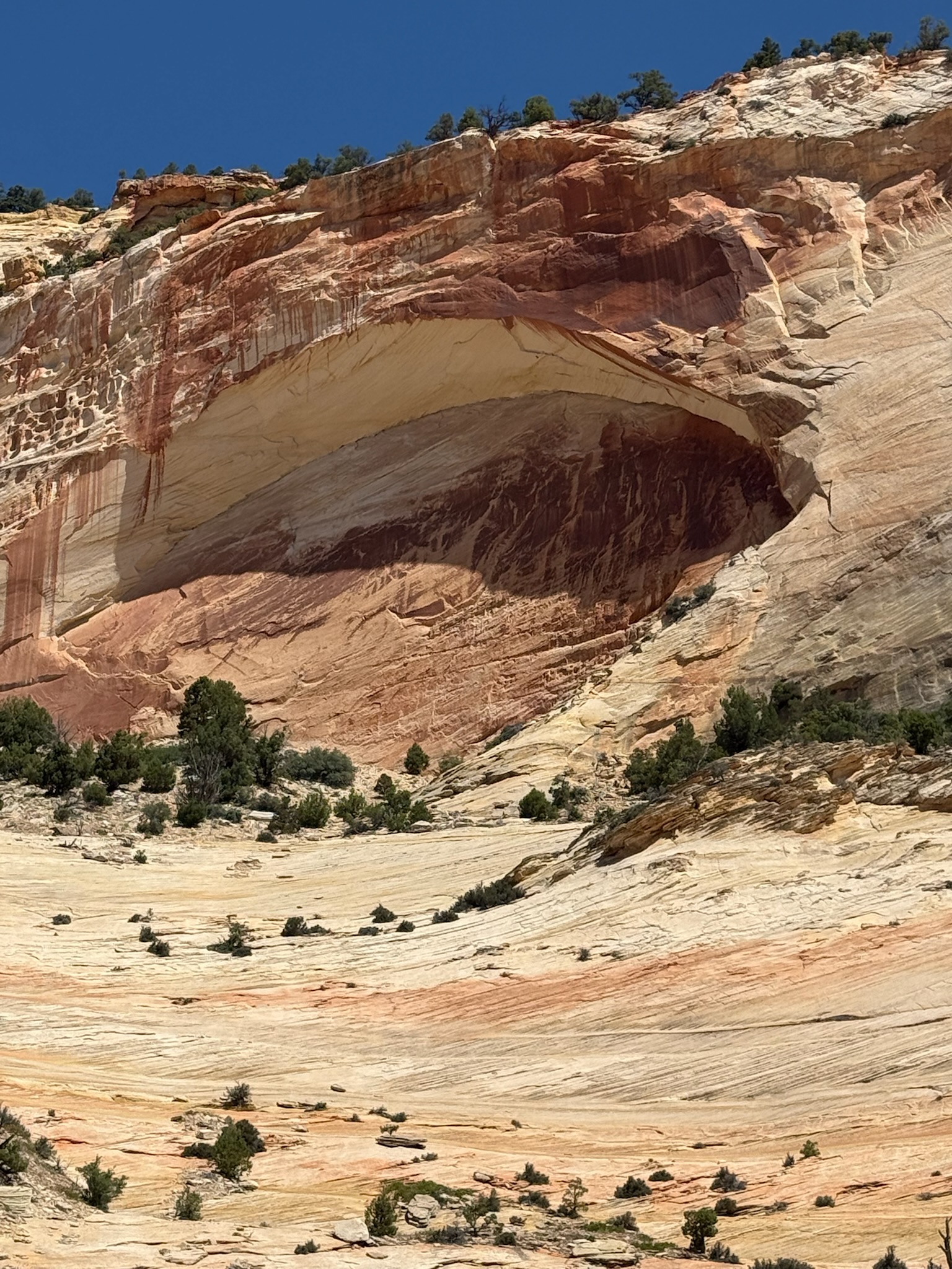
Checkerboard Mesa, at a towering 6,670 feet, was named for its checkerboard appearance caused by the horizontal cross-bedding of ancient sand dunes and vertical cracking due to expansion and contraction of the rock.
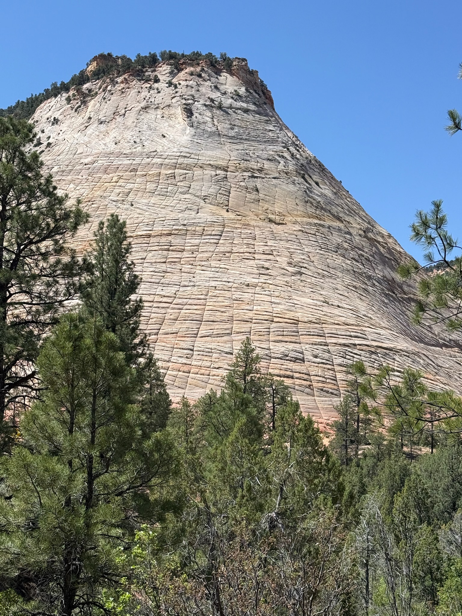
Checkerboard Mesa was the perfect way to leave this beautiful place. We lingered, sorry to have come to the end. Zion was the first of three National Parks we would visit on this trip and it set an extremely high bar for the remainder of our time in Utah. Even if it was all downhill from here (it was not), we would return home overjoyed.
#SisterRain #ALittleSightALotOfHeart #LegallyBlindTraveler #Travel #Adventure #Explore #RoadTrip #America #AmerianHistory #Utah #ZionNationalPark #NPS
